Latest Information About Harris Hikers from 23rd March 2023
After much discussion between group members, those present decided to follow DS’s suggestion that “Short walks with an option of a meal at a nearby venue” should take place on the fifth Wednesday in a month, and members of the group would take it in turns to plan the walk and venue.
There are only two such Wednesdays left in 2023.
August 30th and November 29th.
It was also agreed that Wednesday Walks should in the main be walks of around 8 miles with no more than about 1200’ of climb. If proposed walks exceed these suggestions routes should have obvious short cuts to reduce distance and / or climb involved.
It was also agreed that each month a different member of the group should plan the walk.
This walk should be for the Wednesday in the month and that would include the “Short Walk and Meal Option” on the fifth Wednesday.
In order to include that walk in the monthly “Dates and Walks Post", details of the walk need to be sent to me by 15th of the previous month.
Wherever possible I would like people to let me know of their intention to walk or not to walk by Monday afternoon/early evening prior to the walk on Wednesday. There isn’t an issue with last minute cancellations for any reason. This happens anyway when adverse weather is forecast at the last minute.
Where the “Short Walk and Meal” is concerned, the person planning the walk and meal should be contacted directly and informed of theirr intentions as soon as you have made your decision.
Suggestions for all Wednesday Walks are always welcome.
Remember to let me know that you plan to walk so that it becomes easier to arrange car sharing. in addition it helps me to know how many route maps I need to bring and on special occasions how many pieces of fruit cake or treats will be needed.
Letting me know that you won't be walking is just as important otherwise I am left guessing as to how many maps to run off and invariably I end up printing too many!
Saturday 3rd June 2023.
Beyond the Ro and Moel Fferna
Distance: 9-10 mile. Climb:1900'.
Start: Lay-by next to The Butterfly Man and Craft Centre on the A5. Grid ref: SJ1586942449.
Leave Chester 08-30 a.m.Those planning to walk: Martyn, Mike, Ed.
Those not walking:
This walk combines one of the walks from Dave Berry's book "Walks Around Llangollen and the Dee Valley" with an extension to the summit of Moel Ferna (weather permitting). We will decide the return route on the day. We have visited Moel Ferna in all sorts of conditions, some good, some not so good, hopefully it will be a good one this time.Wednesday 7th June 2023.
Corwen, Pen-y-Pigyn, Llangar Church and Caer Drewyn.
Distance: 7 - 8 miles; Climb:1000'- 1200’.
Start: Corwen centre car park next to the Public Convenience (Pay and Display). Grid Ref: SJ080435.
Leave Chester at 9-00 a.m.
Those planning to walk: Martyn, David S, Mike, Ed.
Those not walking: Fran, Nigel, Sue and Michel.
This is a variation
of walk we have done from Dave Berry's book "Walks around Llangollen and
the Dee Valley" in which he describes the walk to Pen-y-Pigyn as being a
delightful walk through the wooded hillside above Corwen followed by a lovely
walk alongside the River Dee. The visit of Caer Drewyn is described as
enchanting but I have never thought of it like that!
The first objective
today will be to climb out of Corwen to the Pen-y-Pigyn Monument and
viewpoint. Leaving Pen-y-Pigyn, we can
follow contour round on forest tracks to the covered reservoir and on down to
meet a minor road at Bryn Saint Alternatively from Pen-y-Pigyn, we can follow
Nant y Pigyn to reach the upper open reservoir and then follow a path that
leads to the covered reservoir.
The next objective is
Llangar Church before taking a riverside loop and joining the old railway track
(now part of the North Berwyn Way).
The North Berwyn Way
is then followed back to the A5 at Corwen.
We will then turn
left, cross over Pont Corwen and take the riverside path on the north side of
the River Dee as far as Trewyn Fawr.
At Trewyn Fawr we
will take the minor road (Part of the Dee Valley Way) to join the path that leads
up Caer Drewyn.
After visiting the hill
fort we will follow along the road past the sports centre and playing field back
to the start.Saturday 10th June 2023.
Shutlingsloe and Tegg's Nose.
New Start Point - Trentabank Car Park.
Distance: 10 miles. Climb: 2300'.Start: Trentabank car park.(Pay and Display) , unnamed road (standing Stone Road?), Sutton, Macclesfield.Grid ref: SJ950732.
Leave Chester 08-30.
Those planning to walk: Martyn, Ed, Mike.
Those not walking: .
This walk to visit the summit of Cheshire's highest hill nominally starts at the Trentabrook Car Park, but today the walk will add a little more distance and climb by including Tegg's Nose as well.
The Shutlingsloe walk is taken from the Pathfinders Guide to Walks in Cheshire.
The walk starts by heading uphill from the Trentabank Car Park in Macclesfield Forest along forest tracks through the conifer trees, before reaching open moorland and the path to the summit of Shutlingsloe.
After leaving the trig point the route descends to Wildboar Clough before contouring round the hillside, eventually descending back to Trentabrook.
The final section retraces are steps before taking the easiest climb up the bridle path back to the start.
Wednesday 14th June 2023.
Around Minera Mountain.
Postponed - weather looks a little on the warm side and this walk has no cover at all around mid-day.
See below for change of walk.
Distance: 7-8 miles. Climb: 1000'.
Start: Minera Lead Mine Centre Car park. grid ref: SJ276509.
Leave Chester at 09-00 a.m.
Those planning to walk: Martyn,
Those not walking: Fran (has a better offer - a Welsh exam!)
This walk is a modified walk initially taken from Dave Berry's book "Walks Around Ruabon and Hope Mountain". The walk is described as being quite demanding, especially on the open access moorland. A walk for experienced walkers only.
We have done this walk several times now and haven't always found it easy finding the path from Ty Hir. This time we will miss out the dificult boggy moorland part of the walk
At Fron Deg we will head norhward on a path that leads eventually to New Brighton and a path into the Minera Lead Mines Country Park.
The change of walk will be one starting at the The Yeld, Kelsall and is very likely to be one similar to the walk done in December 2022 and February 2023.
An Eddidbury Castle, Pale Heights, Manley Common and Delamere Forest Round.
Distance: 8 miles Climb: 700'.
The Yeld Car Park, Kelsall. Grid ref: SJ532602
Leave Chester at 09-30. DS informs me that the car park at The Yeld doesn't officially open until 10-00, so we don't want to get there too soon.Those planning to walk: Martyn, Mike, Ed, Nigel.
Those not walking: Sue and Michel, Fran (has a better offer - a Welsh exam!), David S.
The walk will start by heading down the lane opposite (Forest Gate Lae) the car park towards the Sandstone Trail, but at the end of the lane, we will take the woodland path past King's Chair that eventually links with the Sandstone Trail.
After crossing the Sandstone Trail we will takethe path eastward, reaching a lane by the "Poo - tin" and then down the lane as far as the path to Eddisbury Castle. After visiting Eddisbury Castle we will descent to meet a track that leads past the masts on the way to to Pale Heights.
We wilthen head to the Delamere Forest Visitor Centre and into the forest taking the path on the west side of Blakemere Moss, We will take a path past Pinewood Fam, Kingswood Cottage, eventually joining the eddisbury Way as far as Manley Common (a possible lunch spt if we haven't found anywhere better before then).
After leaving Manley Common, it is then a stroll through the forest on parts of the Sandstone Trail taking the track to Forest Gate Lane and back to the start.
Saturday 17th June 2023.
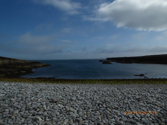
Holyhead Breakwater Country Park and South Stack.
Postponed.
Distance:10-12 miles. Climb:1326'.
Start: Holyhead Breakwater Country Park (Pay and Display - £8-00 last year). SH225833
or
Parking area at SH234835 on the road to the Holyhead Breakwater Park.
Leave Chester 8-00 a.m.
Those planning to walk: Martyn, .
Those not walking: Mike
This is another walk that has become an annual favourite. Along the coastal section there should be good chances of seeing Choughs, Guillemots, Razorbills and even Puffins. Bring binoculars if you can. If time and energy reserves allow we may visit the summit of Holyhead Mountain.
Wednesday 21st June 2023.
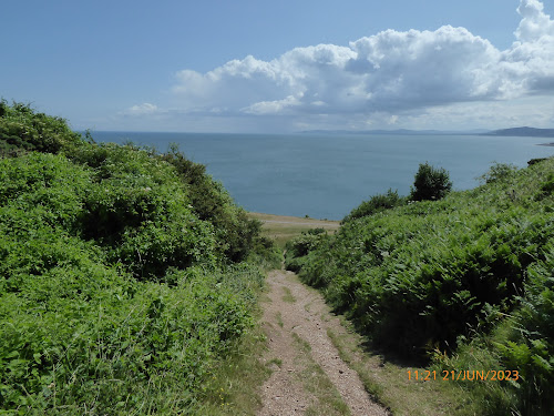
The Little Orme and Coed Gaer.
Distance: 8 miles. Climb: 800'.
Start: Roadside parking next to Paddling Pool and PC on Coast Road at Craig y Don, East side of Llandudno.
Leave Chester at 09-00 a.m.
Those planning to walk: Martyn, Nigel, Fran, Ed
Those not walking: Sue and Michel, Mike, David S.
This has become a regular walk at any time of the year, but at this time of the year. When we did this walk last year we did see see Seals around Porth Dyniewaid, so hopefully they will be there this year as well. The views from the top of the Little Orme are always superb. This is always an enjoyable walk whatever time we do it.
As the Bluebells are on the way out, orchids are starting to show, and thee often good displays of orchids on the limestone slopes north west of St., David's College.
Saturday 24th June 2023.
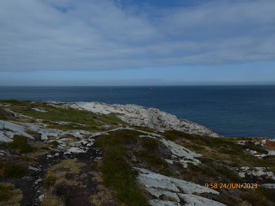
World's End and Gyrn-y-Brain from the Ponderosa.
Distance: 9 miles. Climb: 1600'.
Start: Car parking area opposite the Ponderosa Cafe. Grid ref: SJ192480.
Leave Chester at 09-00 a.m.
Those planning to walk: Martyn,
Those not walking: Mike.
This walk is taken from Dave Berry's book “Walks Around Ruabon Mountain, the Clywedog Valley and Hope Mountain." This is described as an exhilarating walk of great variety, on good upland paths and tracks with panoramic views capes. Last time we did this, it was in November and conditions underfoot were still boggy in places. Hopefully at this time of the year it will have dried out a little.Wednesday 28th June 2023.
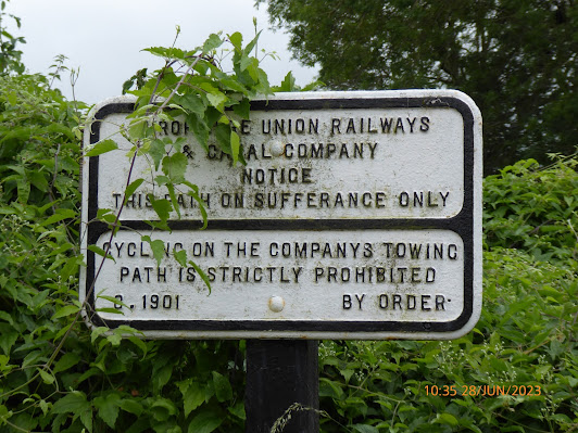
Exploring the Borderlands North East of Llanymynech.
Distance: 6-8 miles. Climb: 1000’.
Start: Llanymynech car park behind The Dolphin pub Grid ref: SJ266210 or Llanymynech Limeworks Heritage Centre Car Park, adjacent to the A483, six miles south of Oswestry. Grid ref: SJ266211.I suggest we all meet up at a suitable location and go in convoy to make sure we all end up at the same start point.
Leave Chester at 09-00 a.m.
Those planning to walk: Martyn, Fran, Nigel, Elaine?, Ed, Sue and Michel.
Those not walking: Mike, David S.
This is walk chosen by Fran, who wanted to do this walk at the time of the year when there is a good chance of seeing orchids in flower.
the walk is based on the walk "A Foot in Both Camps" devised by Shropshire Council.
The actual walk we do depend o the areas Fran wants to explore looking for flowers as there are many paths criss - crossing the are between llanymynech Hill and Llynclys Hill.
The walk at times follows parts of the Offa's Dyke Path and Wat's Dyke way (if we choose to follow Shropshire Council Guide.
We should also be able to see the remains of the Roman Hill Fort and see evidence of the areas past mineral wealth.


