

The Herring gulls taking to the air when a dog tried to join them in the Boating Lake.

Conwy Mountain in cloud as we set off along the coast.

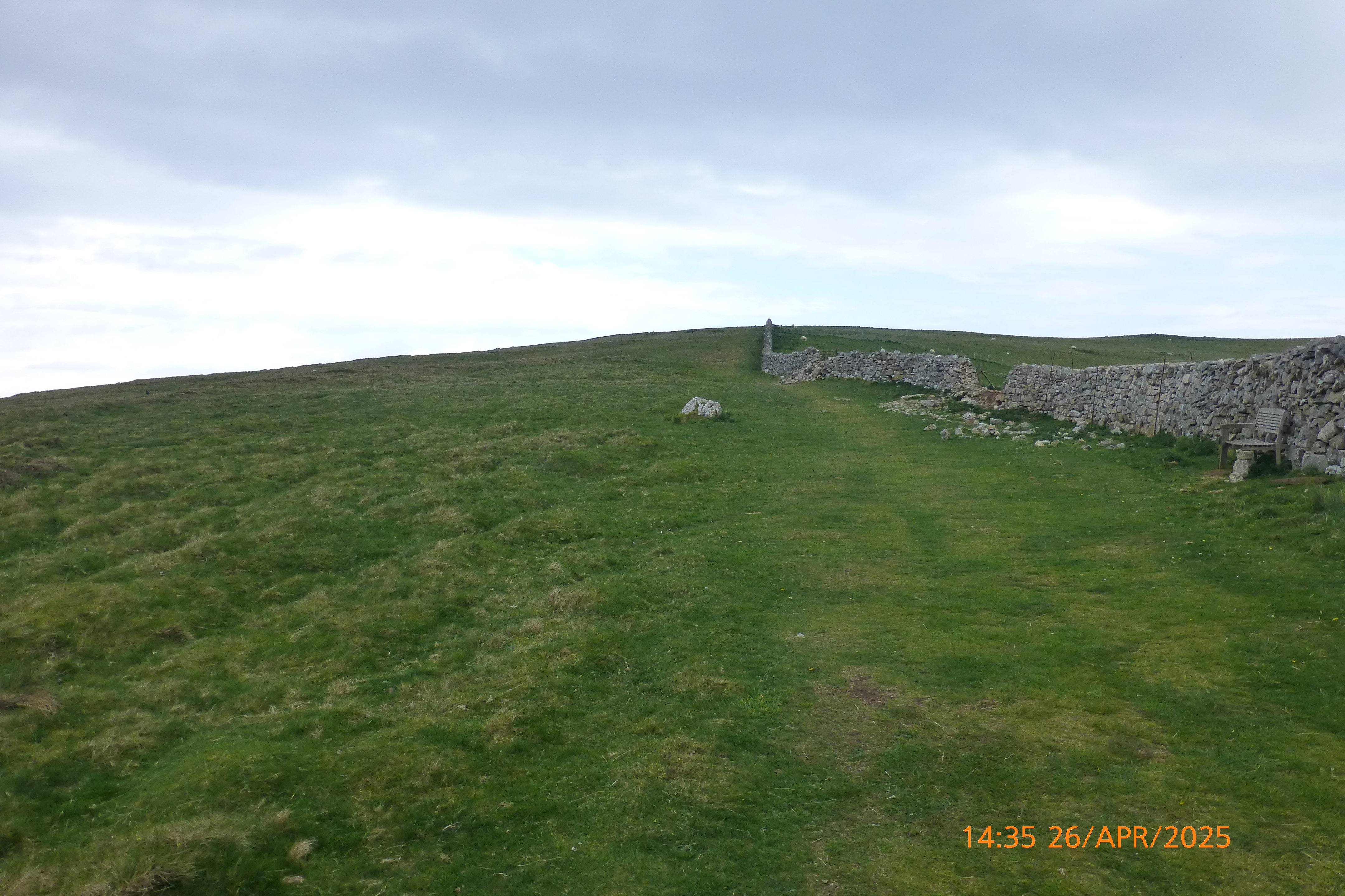
Our first objective the 17th century watch tower. Walkers s they get older.

What happens after using one Leki? You need two!
What comes after a happy bush? A Coffee break!

Conwy Mountain from the watch tower.

The twin hills of Deganwy and its Castle.

St Hilary's Church, Llanrhos.

The start of the path from Plas Dolau to Deganwy Castle.

The path ahead from Plas Dolau looks pretty good.

The first of the Bluebells.

More Bluebells.

The twin hills of Deganwy with the remains of the castle on the right.

The castle wall can be seen above the bank of Bluebells.

Bluebells a Gorse in flower on the western slopes of Deganwy Castle hill.

A good display of Bluebells on the westrn slopes of Deganwy hill.

Bluebells up close.

A solitary Great black back gull om the Boating Lake.
Lunchtime entertainment.

The Herring gull that wanted to join us for lunch.

Taking a rest on the igam-ogam.

The view of West Shore from the igam-ogam.

Resting again on the igam-ogam!

Our first goat of the day.

You see one, then you see another!

Heading to the summit, but not directly!

Yes, the path is straight ahead!

One of the lambs on the Great Orme.
A delightful section on the Great Orme.
At last we can see some blue sky!

The start of the Monk's Path.

Two more goats, but I don't think they would be welcome in these gardens!

Probably our clearest view of the hills as we came to the end of our walk.
Time: 5 hours 46 minutes.
On the move walking average: 2.2 m.p.h.
Overall walk average: 1.7 m.p.h.
Temperature: 11 Celsius at the start. 15.2 Celsius lunch and 14.2 Celsius on the afternoon walk on the Great Orme
Beaufort Wind Force: 0 – 1. Light air at most.
Group: Martyn, Mike and Ed.
We arrived at the start, with the clouds so low that you couldn’t see Conwy Mountain or even the top of the Great Orme. There was a sort of dampness in the air all morning, and as the day warmed up, it felt quite humid at times.
Distant views were never good, although it did clear up enough in the afternoon for us to see Puffin Island and Anglesey.
However, conditions underfoot were pretty good, even the path from Plas Dolau that leads to Deganwy Castle.
The Bluebells around the Deganwy Castle area were showing well, particularly on the west facing side of the hill.
We stopped for lunch by the Boating Lake on Llandudno’s West Shore, and for once we were entertained by a man operating a sailing boat. Needless to say, there were plenty of gulls that weren’t too happy when this sailing boat came close to them or a dog decided to take a swim in the lake.
After lunch, we often to the Gun site extension, but Ed was given the choice and he opted for the Igam-ogam and Monk’s Path extension. This proved to be a good choice, as felt far less humid, and it enabled us to see the Red billed choughs as well a challenging as we climbed all those steps on the Igam-ogam
Birds seen or heard today: House sparrow, Dunnock, Goldfinch, Jackdaw, Common blackbird, Carrion crow, Chiffchaff, European robin, Stonechat, Great tit, Woodpigeon, Greenfinch, Song thrush, Mallard, Winter wren, Skylark, Meadow pipit, Blackcap, Common chaffinch, Raven, Black billed magpie, Hering gull, Great black back gull, Oystercatcher, Eurasian curlew and Red-billed chough.
Overall, a very enjoyable walk and a good reunion with Ed who had escaped from Scotland for a few days!
After walk drinks were enjoyed at the Albion in Conwy, where two of the group enjoyed a pint or two of Facer’s North Star Porter. Mike enjoyed a new variety of Ginger beer as well as the usual Jones’ Chilli crisps.


